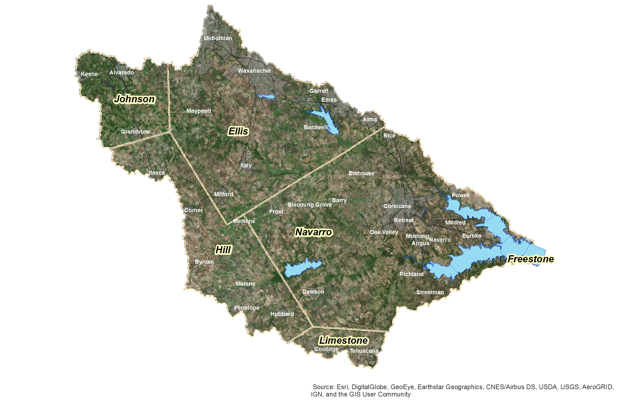
Watershed Map | TRWD
Information Provided by USGS
Check out the TRWD OneRain portal for a visualization of this information and more.
Sign up for our newsletter!