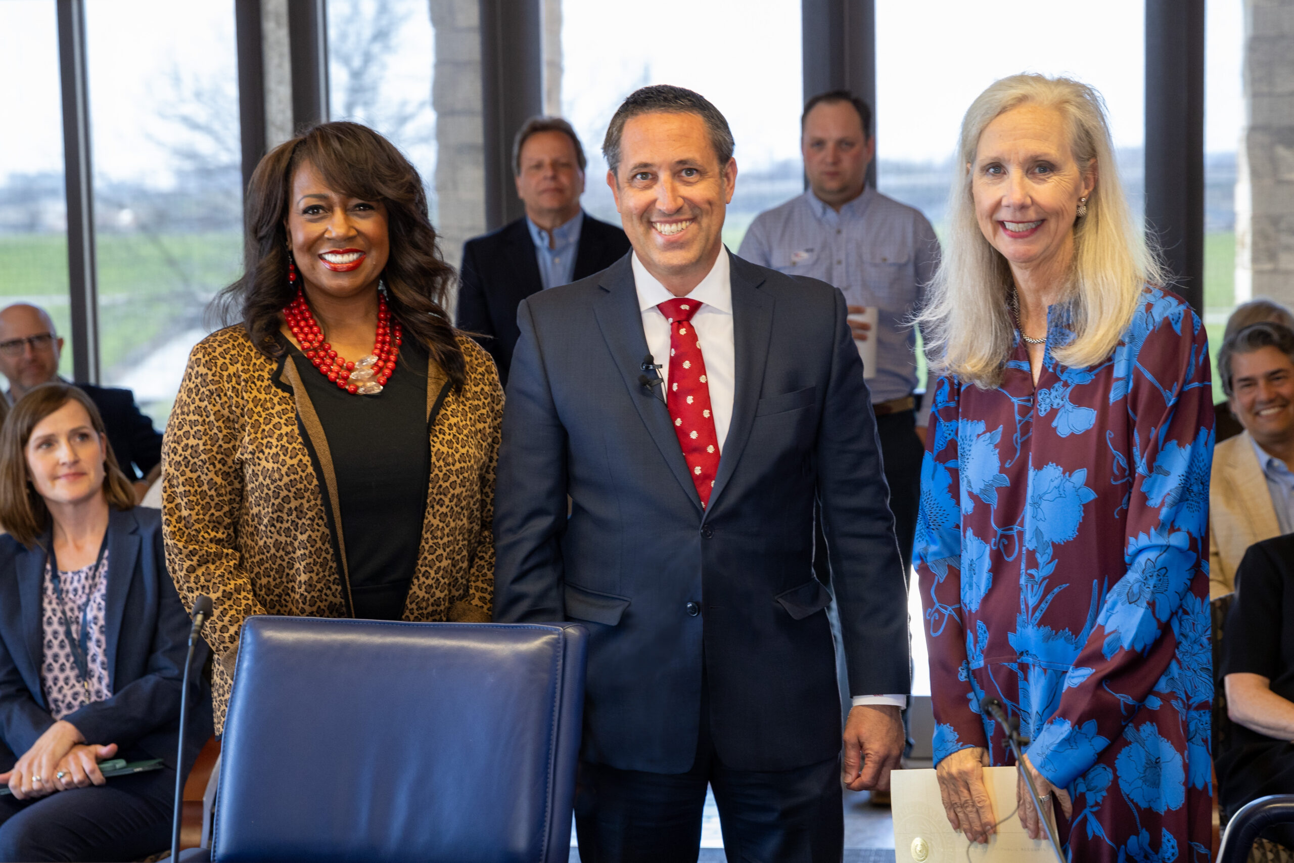
Texas Comptroller Glenn Hegar announced today at a special Tarrant Regional Water District (TRWD) board meeting that the agency has been awarded its sixth Transparency Star for open government and…
Texas Comptroller Glenn Hegar announced today at a special Tarrant Regional Water District (TRWD) board meeting that the agency has been awarded its sixth Transparency Star for open government and…
The latest lake level projections are shown below. You will also find: Links to historical lake level plots Last month’s projections compared to what actually happened Even though February was…
The most current reservoir conditions are shown below. Note the updated discharge rate at Richland-Chambers. TRWD Reservoir discharge rates can also be found on the Discharge/Release Dashboard. Please check back for any…

Christal Moore can tell you about an amazing number of Black inventors who have made an impact on the world. For example, Sarah Boone, who was born into slavery and…
The most current reservoir conditions are shown below. Note the updated discharge rate at Richland-Chambers. TRWD Reservoir discharge rates can also be found on the Discharge/Release Dashboard. Please check back for any…
The most current reservoir conditions are shown below. Note the updated discharge rate at Richland-Chambers. TRWD Reservoir discharge rates can also be found on the Discharge/Release Dashboard. Please check back for any…
The most current reservoir conditions are shown below. Note the updated discharge rate at Richland-Chambers. TRWD Reservoir discharge rates can also be found on the Discharge/Release Dashboard. Please check back for any…
The most current reservoir conditions are shown below. Note the updated discharge rate at Cedar Creek. TRWD Reservoir discharge rates can also be found on the Discharge/Release Dashboard. Please check back…
The most current reservoir conditions are shown below. Note the updated discharge rate at Cedar Creek. TRWD Reservoir discharge rates can also be found on the Discharge/Release Dashboard. Please check back…
The most current reservoir conditions are shown below. Note the updated discharge rate at Richland-Chambers. TRWD Reservoir discharge rates can also be found on the Discharge/Release Dashboard. Please check back for any…
The most current reservoir conditions are shown below. Note the updated discharge rate at Cedar Creek. TRWD Reservoir discharge rates can also be found on the Discharge/Release Dashboard. Please check back…
More rain in the TRWD watersheds over the weekend. About an inch across the Bridgeport and Eagle Mountain area. Once again, the Cedar Creek and Richland-Chambers area saw the greater…
The most current reservoir conditions are shown below. Note the updated discharge rate at Richland-Chambers. TRWD Reservoir discharge rates can also be found on the Discharge/Release Dashboard. Please check back for any…
The most current reservoir conditions are shown below. Note the updated discharge rate at Richland-Chambers. TRWD Reservoir discharge rates can also be found on the Discharge/Release Dashboard. Please check back for any…
The most current reservoir conditions are shown below. Note the updated discharge rate at Richland-Chambers. TRWD Reservoir discharge rates can also be found on the Discharge/Release Dashboard. Please check back for any…
© 2025 Tarrant Regional Water District